


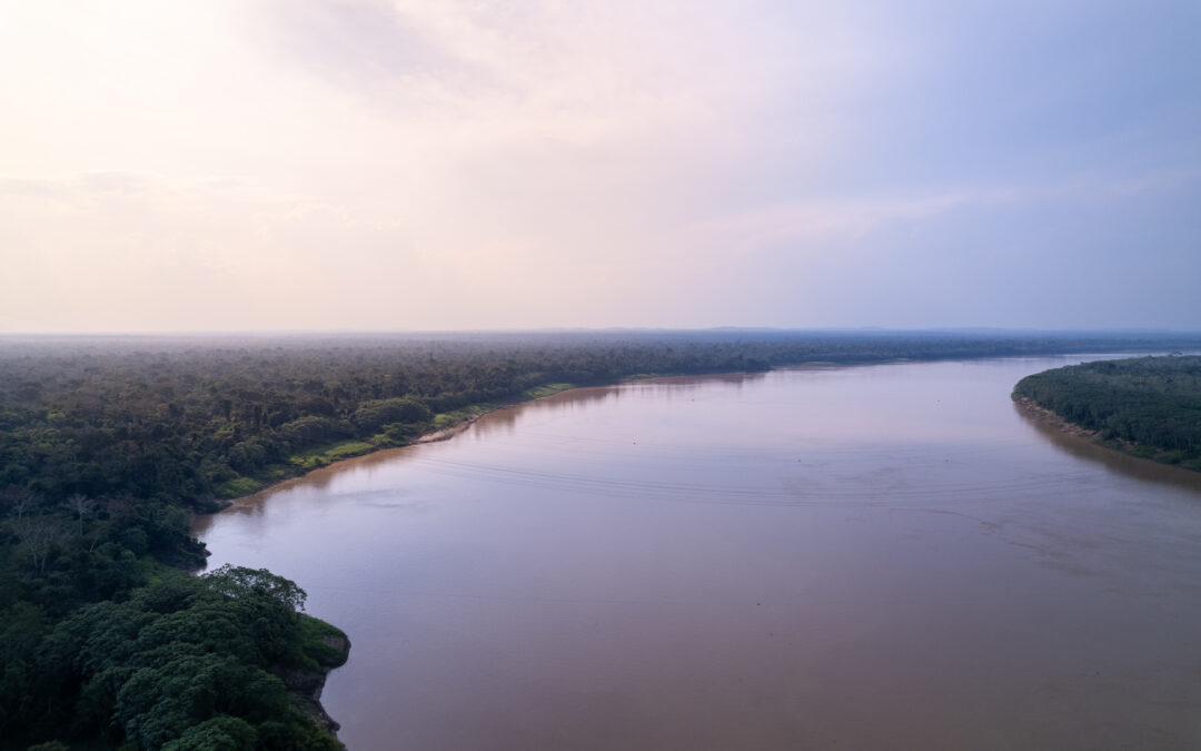
Project Monitoring Forest Cover in the Amazon Region/ Monitoring Deforestation, Forest Use and Changes in Land Use in the Pan-Amazon Forest
More Informations
video
Documents
The “Project Monitoring of Forest Cover in the Amazon Region”/“ Monitoring of Deforestation, Forest Use and Changes in Land Use in the Pan Amazonian Forest ”- RED PD 029/09, was born from the joint effort of the Member Countries of ACTO in response to the provisions of the Amazon Cooperation Treaty (TCA), the provisions of the Amazonian Strategic Cooperation Agenda (ASCA), as well as the different political mandates of the countries to the PS/ACTO to intensify efforts in the search for implementation alternatives for a regional forest cover monitoring system.
The objective of this project was to promote information generation related to the extent and quality of the Amazon forest cover, as well as the development of national plans for monitoring forest cover.
Project’s Results
During the implementation of the project (2011 – 2018) the technical capacity and institutional management regarding forest monitoring in ACTO Member Countries were strengthened, facilitating decision-making based on current information on the state of the natural resources and the impact of the measures implemented for their sustainable management in the Amazon Region.
The Project has also contributed to improving forest management by developing and strengthening monitoring systems. The implementation of the Observation Rooms (OR) in each of the countries providing information on forest cover is a strategic tool for the formulation of policies and management instruments. Likewise, it can also be highlighted:
Support for national institutions. The project supports the continuity of government initiatives related to monitoring deforestation and changes in land use. Each of the Member Countries has a National Coordination Unit which facilitates the agreements on the development of monitoring systems in the Amazon region.
The formulation of National Plans of Monitoring Forest Cover in the Member Countries of ACTO. The Member Countries of ACTO formulated their respective National Monitoring Plans or updated existing plans. These plans, validated in national workshops, were presented at the Regional Workshop in Lima, Peru, in August 2014.
Installation, equipment, and implementation of National Observation Rooms (OR). The OR for monitoring deforestation in the Amazon region were installed in 2012 in all Member Countries of ACTO. Installation and startup of activities in each country was conducted with the support of the National Coordinating Bodies designated by the countries.
Training teams in monitoring techniques. To implement the Monitoring Project and operations in Observation Rooms agreements were signed in 2010 and 2013 with Instituto Nacional de Investigación Espacial de Brasil (INPE). The agreements promote the training of technicians of the Observation Rooms in monitoring technologies and ensure support to the OR.
Tropical Forests Monitoring courses with Terra Amazon/PRODES system are performed with the ability to provide updated information on deforestation. The ACTO agreement with INPE/CRA also includes satellite monitoring of fires; as well as obtaining information using mapping and land cover areas already deforested.
The development of Regional Maps of the Amazon Deforestation. The Region Deforestation Maps are an indicator of the efforts of Member Countries to combat illegal deforestation. It must be emphasized that with the support of the Observation Rooms in the Member Countries of ACTO, four amazon region deforestation maps were prepared. One covering the period from 2000 to 2010, a second one from 2010 to 2012, a third one referring to 2013 to 2014 and a fourth map from 2014 to 2015 planned to be published at the end of 2017.
Also, at the end of this year there will be finished two Regional Maps on Land Use and Land Cover (2000-2010 and 2010-2012) based on previously deforested areas demarcated in regional maps.
Strategic partners
Ministries of Foreign Affairs along with the Ministries of Environment of the Member Countries
Agencia de Cooperación Brasilera (ABC)
Organización Internacional de Maderas Tropicales (OIMT)
Cooperación Alemana (BMZ/GIZ) y la Cooperación Holandesa (DGIS)
Fundo Amazônia del Banco Nacional de Desarrollo Económico y Social de Brasil (BNDES)
Instituto Nacional de Investigaciones Espaciales (INPE)
The Monitoring Project had multiple strategic partners, such as the Ministries of Foreign Affairs and Environment of the Países Miembros (Bolivia, Brazil, Colombia, Ecuador, Guyana, Peru, Suriname, and Venezuela), as well as different donors. It also has the technical support of the Brazil Instituto Nacional de Investigaciones Espaciales (INPE).
Videos
News

ACTO member countries set up ANWA – Amazon Network of Water Authorities
Created in 2023 by the presidents of the eight Amazonian countries during the Amazon Summit, the...

Amazon Basin Project Steering Committee meets in Brasilia to share progress made in 2023 and plan next steps
The Steering Committee of the Amazon Basin Project (SCP) met this Tuesday, 16, at ACTO...
Water authorities from the eight Amazonian countries take part in SAP events in Brasilia
From April 16 to 19, directors and water authorities from the Amazon countries are...

SAP implementation in Brazil gains momentum with an event that brought together authorities, experts and representatives of traditional peoples and communities
"I am an Amazonian woman, daughter and granddaughter of fishermen, and for me, being in this space...