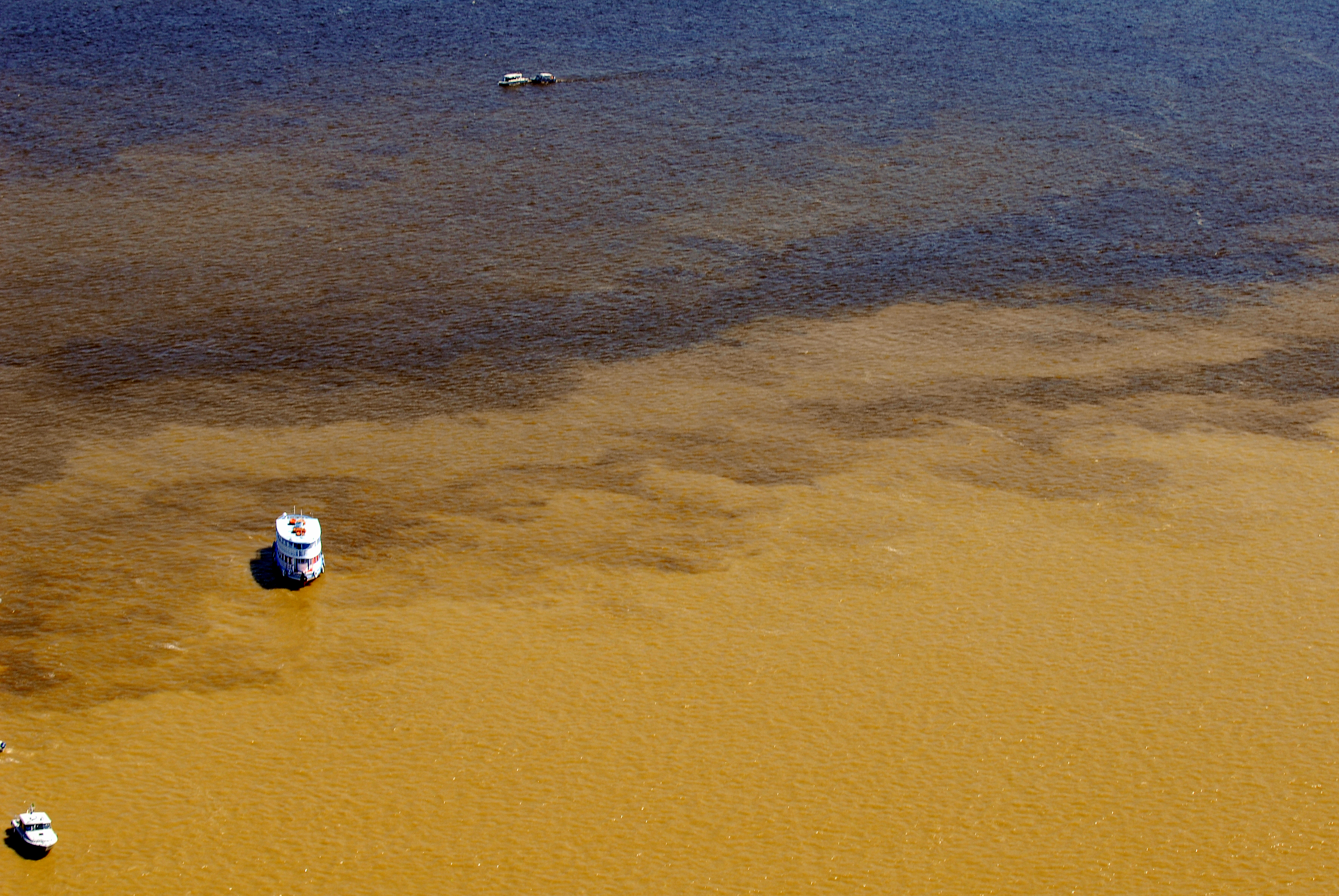
The border region between Bolivia, Brazil and Peru, in the southwest of the Amazon, is home to a vast area of preserved forests and an immense ethno-cultural diversity. Known as MAP because it is made up of the departments of Madre de Dios (Peru) and Pando (Bolivia), as well as the state of Acre (Brazil), the region has presented a new scenario in terms of risks and natural disasters in recent decades. In less than 30 years, there have been seven extreme events, with the most intense floods in 1997, 2012, 2015 and 2021, and the drought of 2017, which caused significant social and economic losses.
According to the Transboundary Regional Diagnostic Analysis of the Amazon Basin (OTCA/UNEP/GEF), the construction of megaprojects for the integration of regional infrastructure, driven by the export of natural resources, minerals and oil, as well as the expansion of agriculture and deforestation, are among the causes of the most frequent extreme events in the MAP Region, such as droughts and floods. These factors are aggravated by climate change and the El Niño phenomenon.
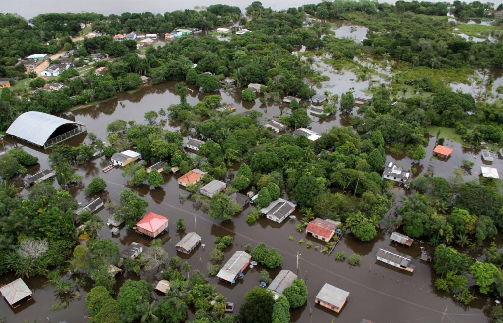
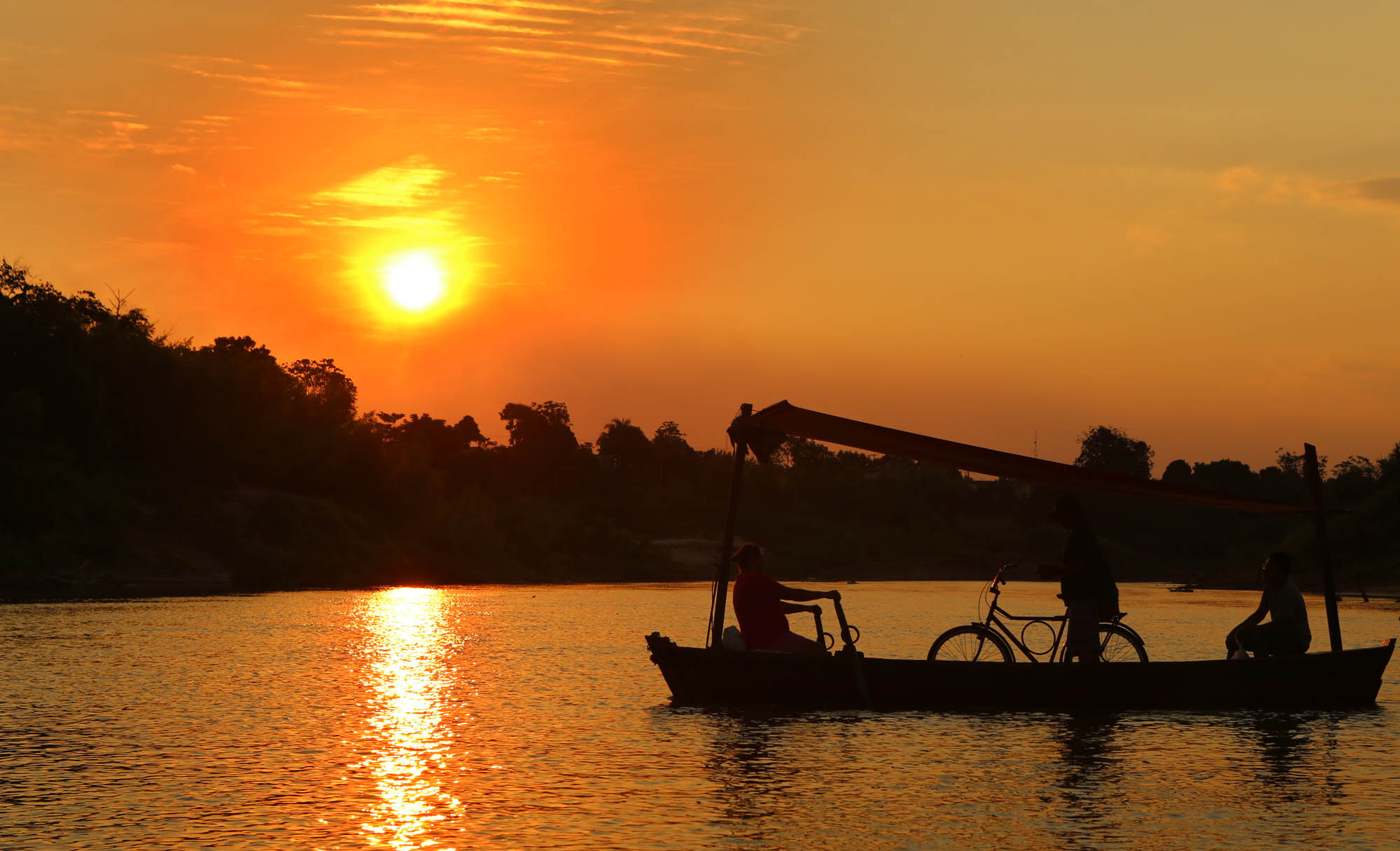
Flooding of the Madeira River in 2015, Rondônia Photo: Daiane Mendonça
The socio-economic and environmental impacts of extreme events, such as the loss of human life, biodiversity and agricultural land, require risk reduction strategies to increase resilience and reduce the vulnerability of communities and ecosystems.
In this sense, the MAP Region has experience of adapting to climate change with the implementation of the Trinational Early Warning System (EWS) and the information provided by the Atlas of Hydroclimatic Vulnerability of the Amazon, both carried out under the GEF Amazon Project: Water Resources and Climate Change, implemented in the years 2011-2018 by the Amazon Cooperation Treaty Organization (ACTO), with the support of the United Nations Environment Programme (UNEP) and funding from the Global Environment Facility (GEF).
Since then, the Trinational EWS has supported decision-making and increased the response capacity of the civil defenses of the three countries to climatic extremes in this border region. Thanks in part to this early warning system and its integrated communication systems, in 2015, and in the face of the biggest flood in its history, the state of Acre was able to relocate communities living in risk areas without loss of life.
The trinational intervention
With the aim of broadening the scope of the Trinational EWS and strengthening the actions already implemented by the governments of Bolivia, Brazil and Peru in relation to the forecasting and reduction of flood disaster risks in the region, within the framework of their National Disaster Risk Management Systems, the intervention “Integrating borders: Early Warning System in the Madeira, Alto Purús and Alto Juruá River Basins” is being implemented within the framework of the Amazon Basin Project (ACTO/UNEP/GEF).
The project seeks to consolidate an Integrated Cross-Border Forecasting and Early Warning System in the Madeira, Alto Purús and Alto Juruá river basins, covering 54,463,000 hectares and benefiting a total of 28 municipalities in the region, eight of which directly and 20 indirectly. Based on a meteorological and hydrological monitoring system that provides information on climatic conditions, river levels, flood risks and droughts, the Trinational EWS should provide greater security for 1.6 million people in the region in the face of extreme phenomena.
The trinational intervention will also facilitate the exchange of information and the interoperability of national systems for the Regional Water Resources Platform within the framework of the Amazon Regional Observatory – ORA, the ACTO’s online reference center for regional scientific and technological information.
Implementation strategies
On November 14, 2023, the Trinational Technical Group (GT3), made up of representatives of the national organizations that operate the National Early Warning Systems (Civil Defense, National Hydrology and Meteorology Services and Water Agencies) of Bolivia, Brazil and Peru, met with the Bolivian and Peruvian Ministries of Foreign Affairs to discuss the Work Plan for the organization of the Initial Trinational Workshop. This event aims to bring together relevant local actors in the region’s EWS to prepare a common agenda for the implementation of the trinational intervention.
At the meeting, it was decided that the workshop will be preceded by face-to-face meetings to mobilize municipal and supra-municipal actors and indigenous and peasant organizations. Universities and scientific institutions in the region will also be mobilized.
The participation and commitment of the municipalities involved and the selected local communities play a key role in this trinational intervention, developed under a comprehensive and collaborative approach for the cross-border region. The experience of the GEF Amazonas Project (ACTO/UNEP/GEF) showed that the involvement and support of local professionals, community leaders and civil society organizations, as well as members of regional scientific and university bodies, who at the time were united in the movement known as the MAP Initiative, were fundamental to the success of the actions planned for the implementation of the EWS.
Building community resilience
The establishment of Early Warning Systems (EWS) in the Amazon Region is part of the Climate Change Adaptation Component of the Amazon Basin Project – Implementation of the Strategic Action Program to Ensure Integrated and Sustainable Management of Transboundary Water Resources in the Amazon River Basin, Considering Climate Variability and Change. This component provides for national, binational and trinational interventions to promote the resilience of Amazonian communities and aquatic ecosystems to adapt to droughts and floods and rising sea levels.
Based on the experiences of Bolivia, Brazil, Peru and Venezuela in responding to extreme events, the Amazon Basin Project is implementing three Early Warning Systems in the region. In addition to the Trinational EWS in the Madeira, Alto Purús and Alto Juruá river basins, EWSs are planned in the Mantaro river basin in Peru and the Casiquiare – Río Negro river basin in Venezuela.
The Amazon Basin Project is implemented in the eight ACTO member countries – Bolivia, Brazil, Colombia, Ecuador, Guyana, Peru, Suriname and Venezuela, with a focus on institutional strengthening of water governance at regional and national levels; adaptation to climate change; regional monitoring of water resources and ecosystems; and monitoring of EWS implementation. The project is expected to achieve specific environmental and socio-economic benefits, thus contributing to the Sustainable Development Goals (SDGs).