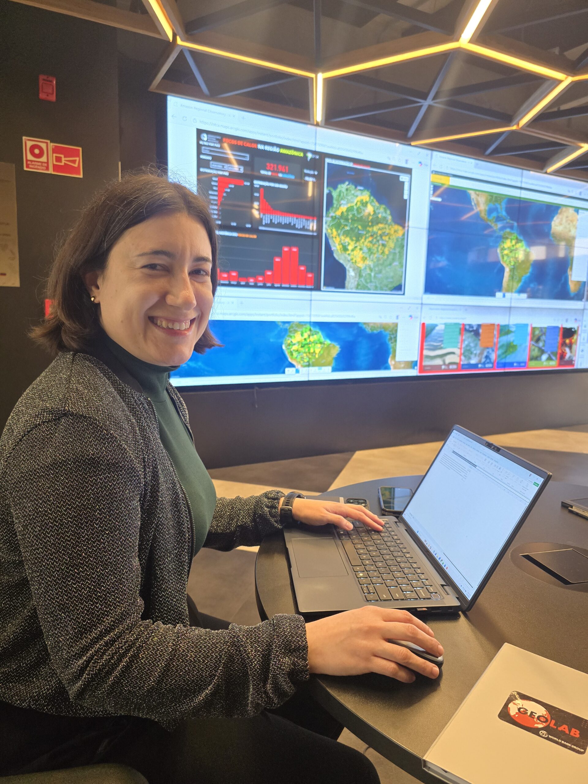
The World Bank is working with the Amazon Regional Observatory (ARO/ACTO) to expand the strategic use of geospatial data and analysis across the Amazon region. As part of this collaboration, data specialist Isabel Ramos, from the World Bank’s GeoLab, is spending two weeks at the Observatory sharing methodologies and best practices developed by the institution.
The initiative reflects the World Bank’s efforts to promote solutions based on artificial intelligence that make it easier to analyze satellite imagery and geospatial databases. The goal is to enable users to obtain insights and diagnostics through simple queries, without the need for advanced technical expertise.
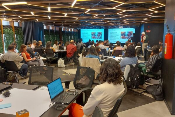
The visit follows the ORAthon held in August 2025 at ACTO headquarters in Brasília. Inspired by hackathons, the event brought together specialists from different fields to develop innovative technology solutions and explore new ways of using data and digital tools in the Amazon. The current exchange aims to deepen cooperation and adapt the World Bank’s experience to the Observatory’s priorities.
During the visit, Ramos is working with the ARO technical team to identify pathways to strengthen the Observatory as a regional hub for data-driven intelligence.
“The idea is to share best practices and help develop similar approaches within the ARO, adapted to the needs of the region, so the Observatory can serve as a hub of intelligence for the Amazon,” she said.
ARO’s potential
According to Ramos, the Amazon Regional Observatory has already made important progress, particularly in defining its strategic vision and building a skilled team.
“The direction of what the ARO aims to become is clear and continues to gain strength. There is also a great deal of talent within the team, with strong motivation and technical capacity,” she noted.
She added that while the challenges are significant given the scale of the Amazon agenda, partnerships, funding and technical cooperation can help accelerate the Observatory’s development.
GeoLab and ARO cooperation
The World Bank’s GeoLab platform integrates multiple data sources, especially public datasets, and transforms geospatial information into insights that support decision-making.
“The lab brings together analyses and geospatial data that help us understand social, environmental and risk contexts. The idea is to make this information available so users can make more informed decisions,” Ramos explained.
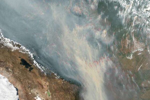
For Arnaldo Carneiro, coordinator of the ARO, the strategic alignment between ACTO and the World Bank strengthens the Observatory as a territorial intelligence platform focused on preventing climate risks, fires and deforestation.
“The partnership between ARO and the World Bank’s GeoLab advances an innovation agenda for Amazon socio-environmental governance, integrating satellite data, predictive modelling and regional interoperability into a digital architecture designed to scale,” he said.