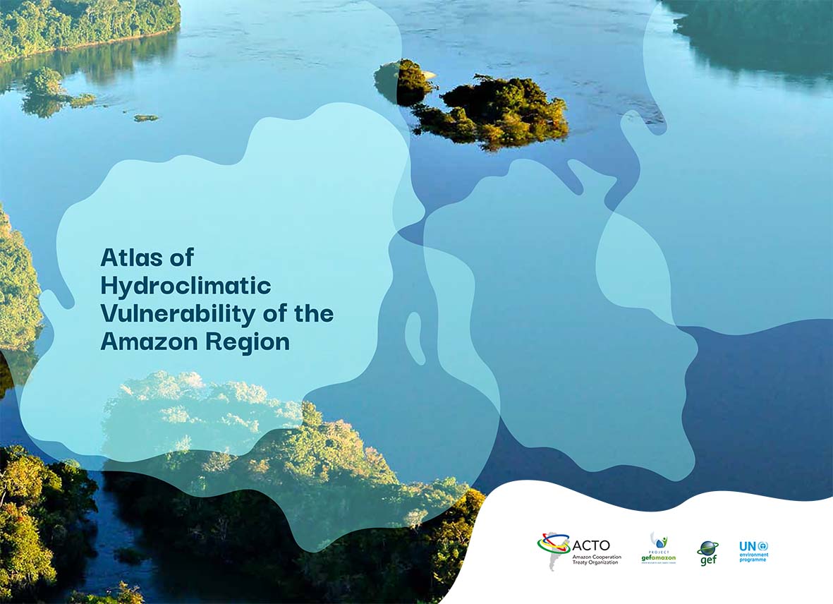
The 8 Member Countries of the Amazon Cooperation Treaty Organization, ACTO will make the virtual launch of the First Hydroclimatic Vulnerability Atlas of the Amazon Region, on November 30th, 2021, at 11:00 am. (Brasilia time) from the ACTO platform, an international event that will be chaired by ACTO Secretary General Alexandra Moreira and will be attended by representatives and officials of the entities in charge of water resources and environment of the countries, UNEP and the GEF.
The Atlas contains 60 specialized thematic maps
The first objective of the Atlas is to understand the Amazonian territory under threat from climate change. One of the priority themes was to analyze the vulnerability of populations and ecosystems to extreme hydroclimatic events (droughts and floods), understanding that hydroclimatic vulnerability is the degree of fragility of a natural and/or human system in the presence of a threat caused by climate alterations.
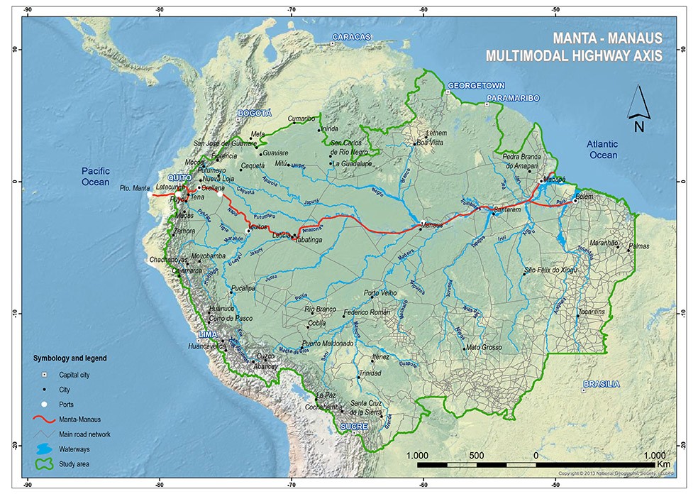
In this way, a broad biophysical and socioeconomic description of the region was consolidated. This information was captured in 60 specialized thematic maps that show the richness of the Amazon, including its relief, 21 types of soil, rich vegetation, and the variety of its 14 climates. Also, the maps present the educational, health, and mobility infrastructures, including a map of the multimodal road axis showing 24,000 kilometers of river and land routes, among other vital elements of this multicultural home of more than 48 million people, including 470 indigenous peoples.
The estimated temperature for the Amazon Region shows an increase of 3 to 4ºC by the end of the 21st century (2080-2100), above that observed in the 1976-2000 period, according to the scenarios of changes in average temperature.

Likewise, with regard to seasonal precipitation in the Region, an increase in rainfall extremes is estimated, both in intensity and quantity. Increases were identified in the Colombian, Ecuadorian, Peruvian and Bolivian Amazon and in the southern sector of the Region. And reduction of rainfall were observed in the north, center and southeast of the Amazon Region.
Hydroclimatic threats
Droughts and floods were the main threats defined in the Atlas based on their spatial coverage and magnitude of impacts.
Droughts. Nineteen percent of disasters in the region are associated with droughts, rising to 46% in the Brazilian Amazon. The most intense droughts are associated with the El Niño event. The greatest impact of droughts is due to the occurrence of forest fires affecting forests and agricultural areas. Droughts also have an impact on water supply for the population, agriculture and livestock.
Floods. Fifty percent of disasters in the Region are associated with floods, the main cause of disasters, occurring 49% in the Andean Amazon and increasing to 51% in the Brazilian Amazon, followed by landslides and alluviums. High-impact floods are associated with the La Niña event and the greatest impacts of floods are seen in the agricultural sector and the population’s infrastructure.
Thus, the Atlas focuses on a fundamental aspect for the countries: understanding the levels of sensitivity of both the ecosystem and the populations to extreme hydroclimatic events and, at the same time, analyzing the adaptive capacity of both systems to climate change.
The Atlas will generate new knowledge for territorial planning, integrated water resources management and disaster risk management in the region in the face of climate change.

The vulnerability of the Amazon Region
Recognizing in time the water and climate vulnerability of the Amazon Region will allow for timely decision making to reduce the negative impact of the climate changes that are taking place in the region and affecting the planet. In this sense, the Atlas is a tool that facilitates access to information for the general population, specialists and those responsible for charting the path towards a sustainable and resilient future for the region.
Hence the commitment to disseminate the Atlas of Hydroclimatic Vulnerability of the Amazon Region in the countries, which is available at: http://otca.org.
The Atlas is the result of a joint effort of the 8 Member Countries executed by ACTO, developed by the International Centre for El Niño Research (CIIFEN), with the support of the United Nations Environment Programme (UNEP) as implementing agency and the GEF, funding agency.