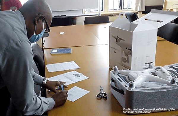
The equipment was bought in July with resources provided by the Bioamazon Project. This drone will also be used for data collection on the field.
According to Forest Legality Initiative, forests in Surinam are located within the broader Guianan Moist Forests area, one of the largest continuous tracts of relatively pristine lowland tropical rainforest in the world. Surinam has 15.3 million hectares of forest covering approximately 94% of the surface area of the country (FAO, 2015).
Around 91% of forest area in Surinam is primary forest, 8.5% is naturally regenerated and only 0.1% planted. Forestry activities contributed roughly 2% to annual national GDP in 2011, while providing employment for approximately 9000 people (Global Forest Watch, 2015).
Estimated annual deforestation rate in Surinam is approximately 0.02%, with mining for bauxite, gold and kaolin as the main driver of deforestation and degradation. While most of the country is forest covered, the northern half of the country is where the logging concessions are located.


