The Member Countries of the Amazon Cooperation Treaty Organization (ACTO) are advancing the interoperability of their hydrometric and water quality data, marking an unprecedented step toward building a regional perspective on the water resources of the Amazon Basin that can strengthen shared water management and support decision-making.
The process connects the national systems of Bolivia, Brazil, Colombia, Ecuador, Guyana, Peru, Suriname and Venezuela to the Amazon Regional Observatory (ARO), enabling the exchange and progressive integration of information produced by the institutions responsible for water monitoring in the eight countries. For the institutions of Peru and Ecuador, the initiative represents their first experience with international data interoperability.
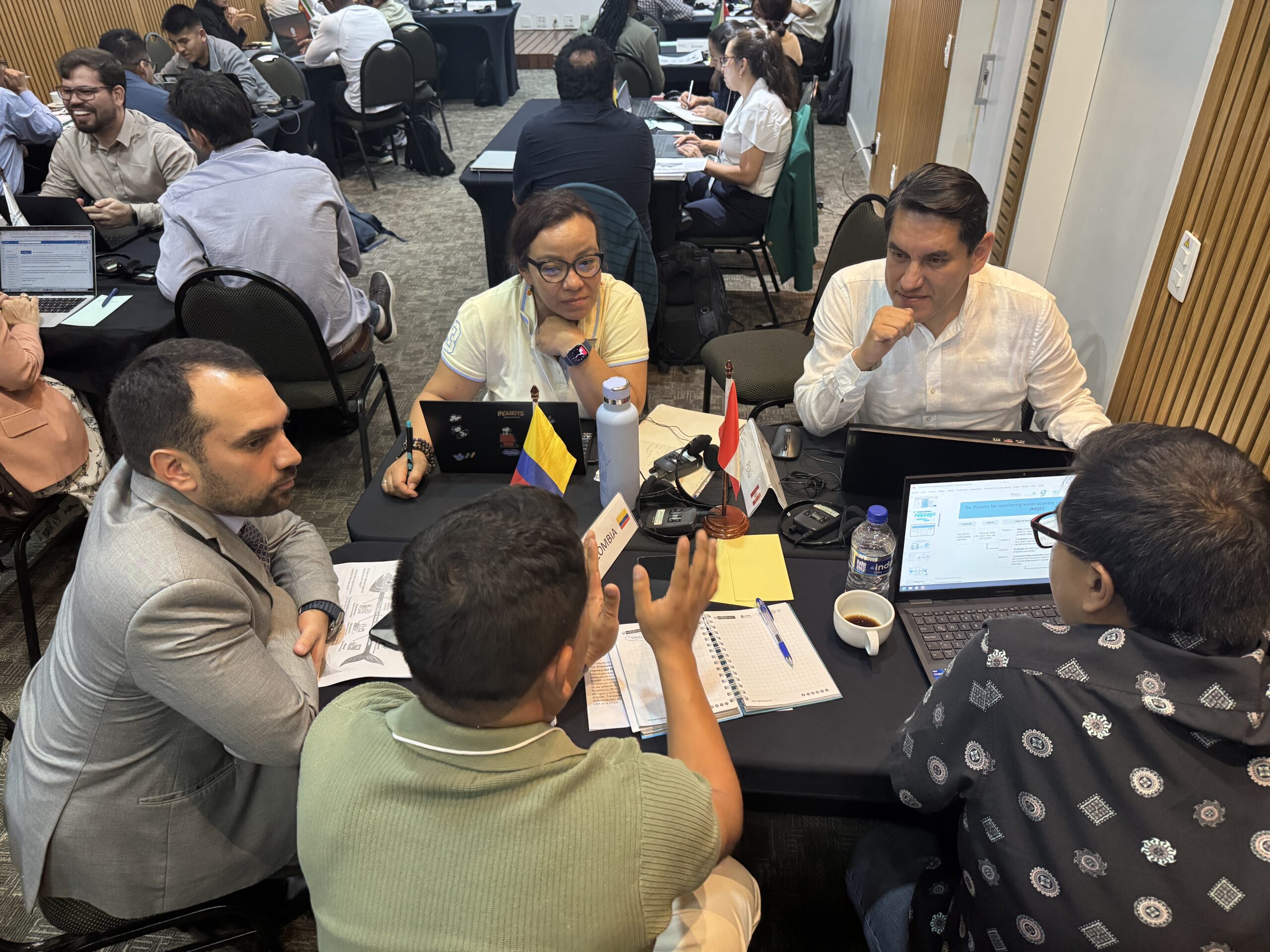
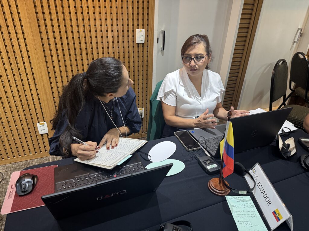
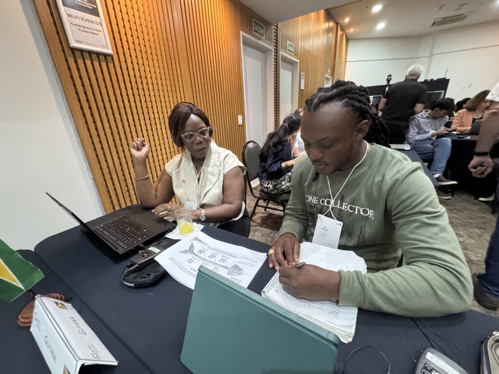
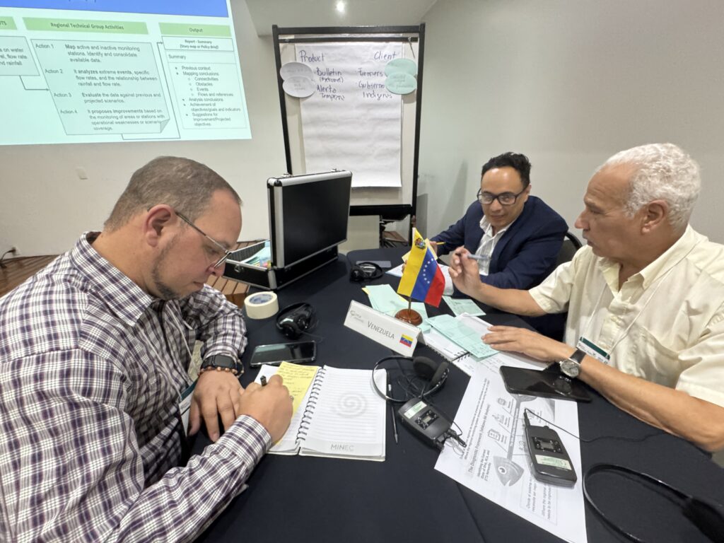
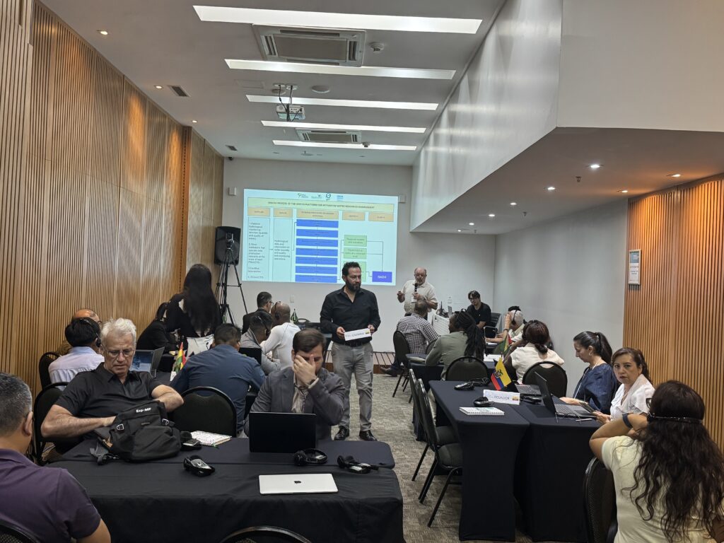
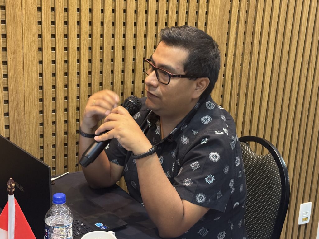
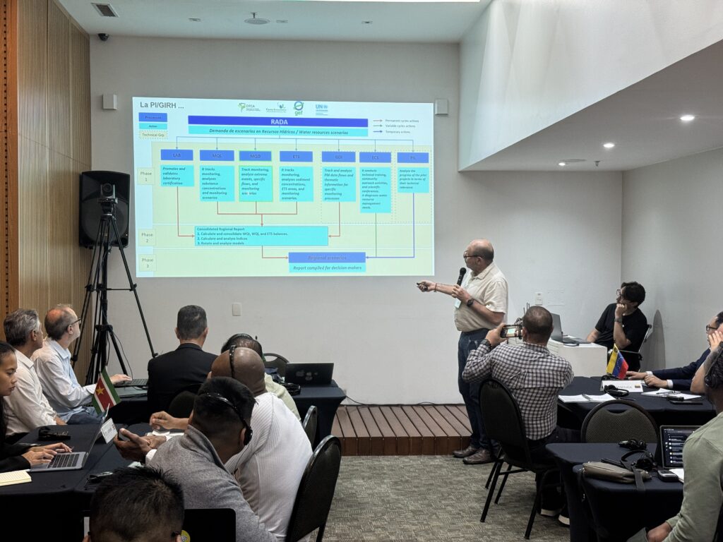
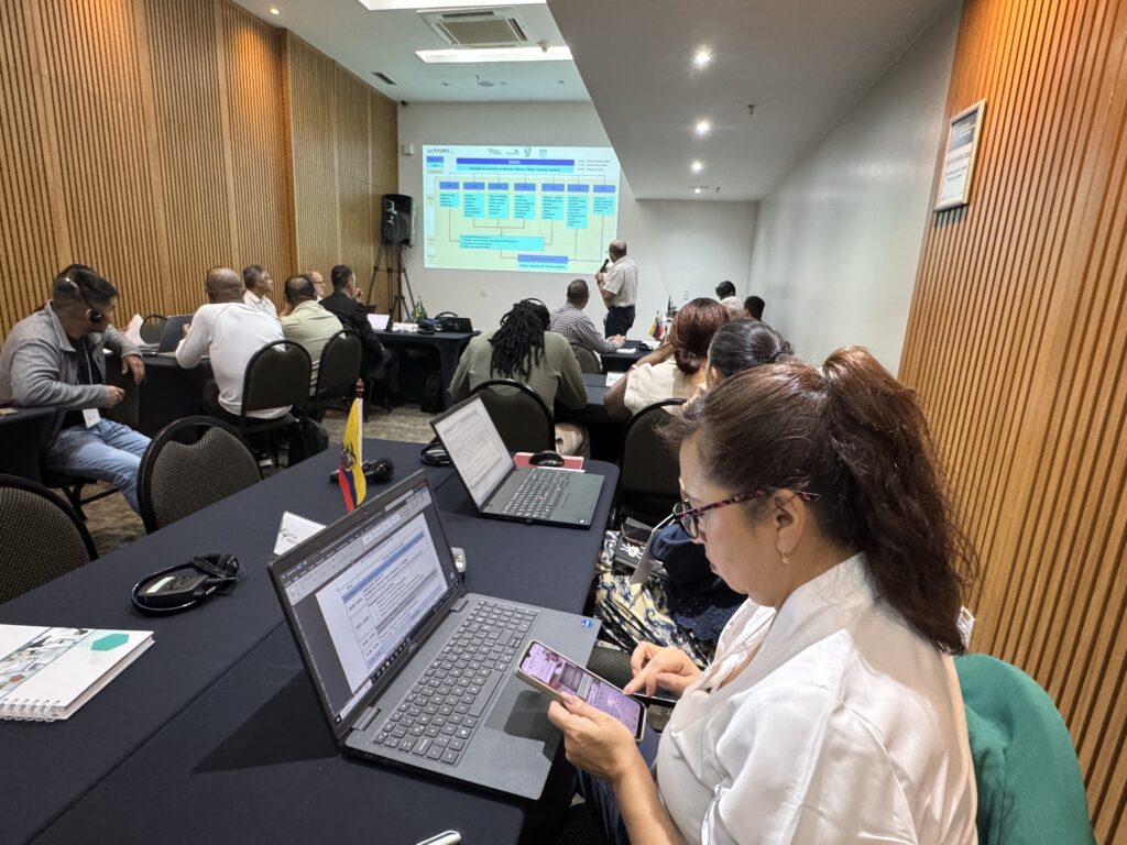
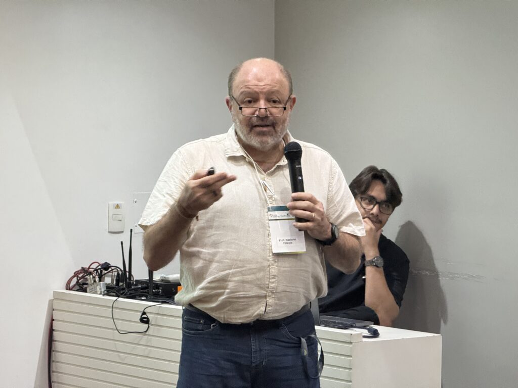
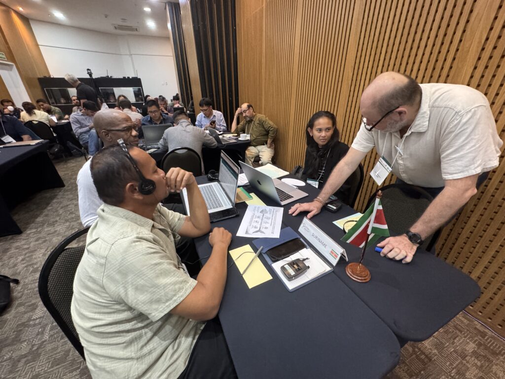
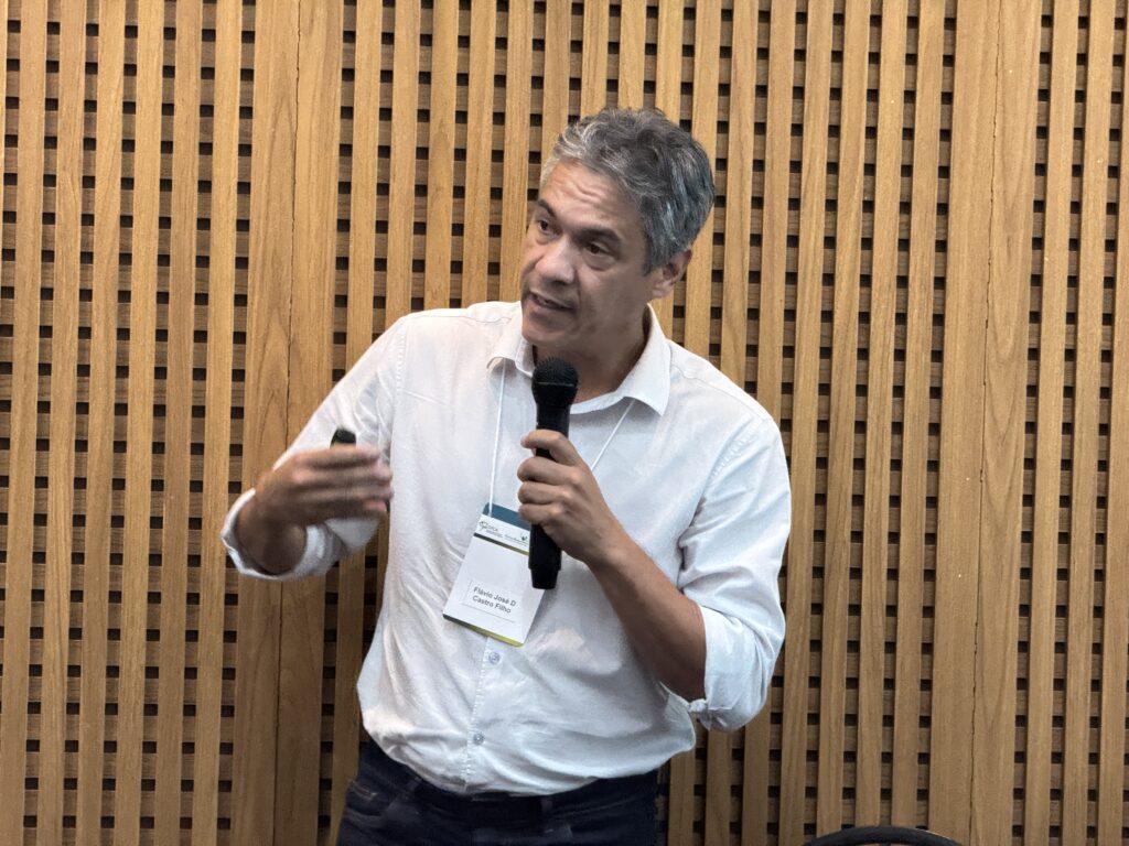
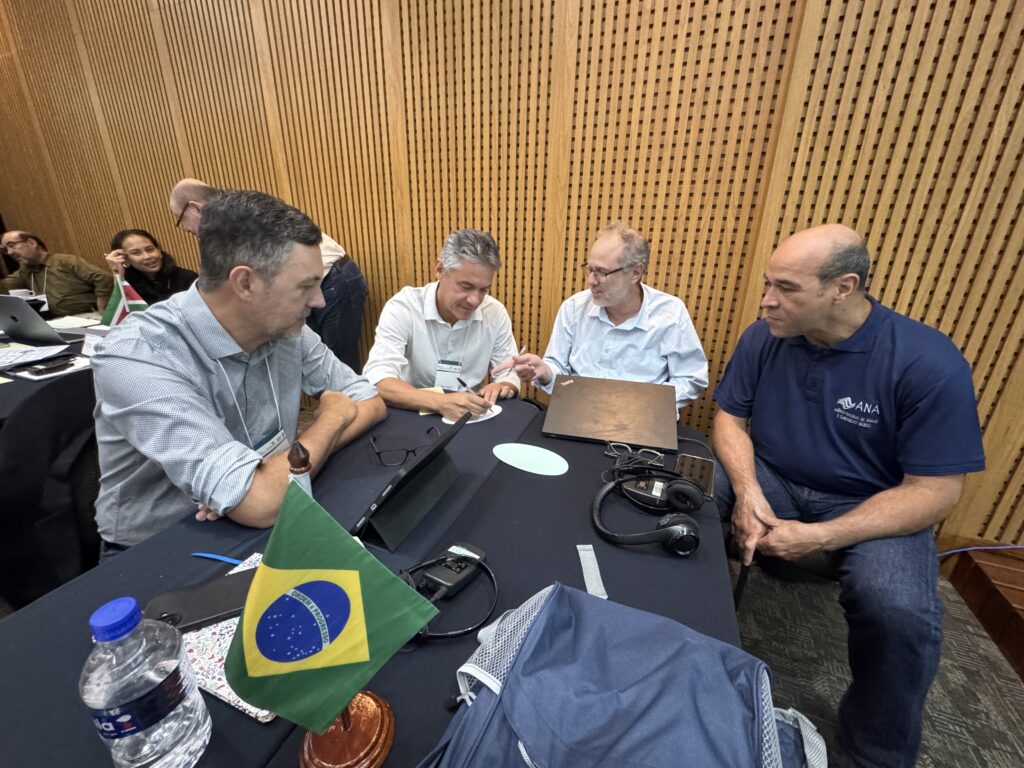
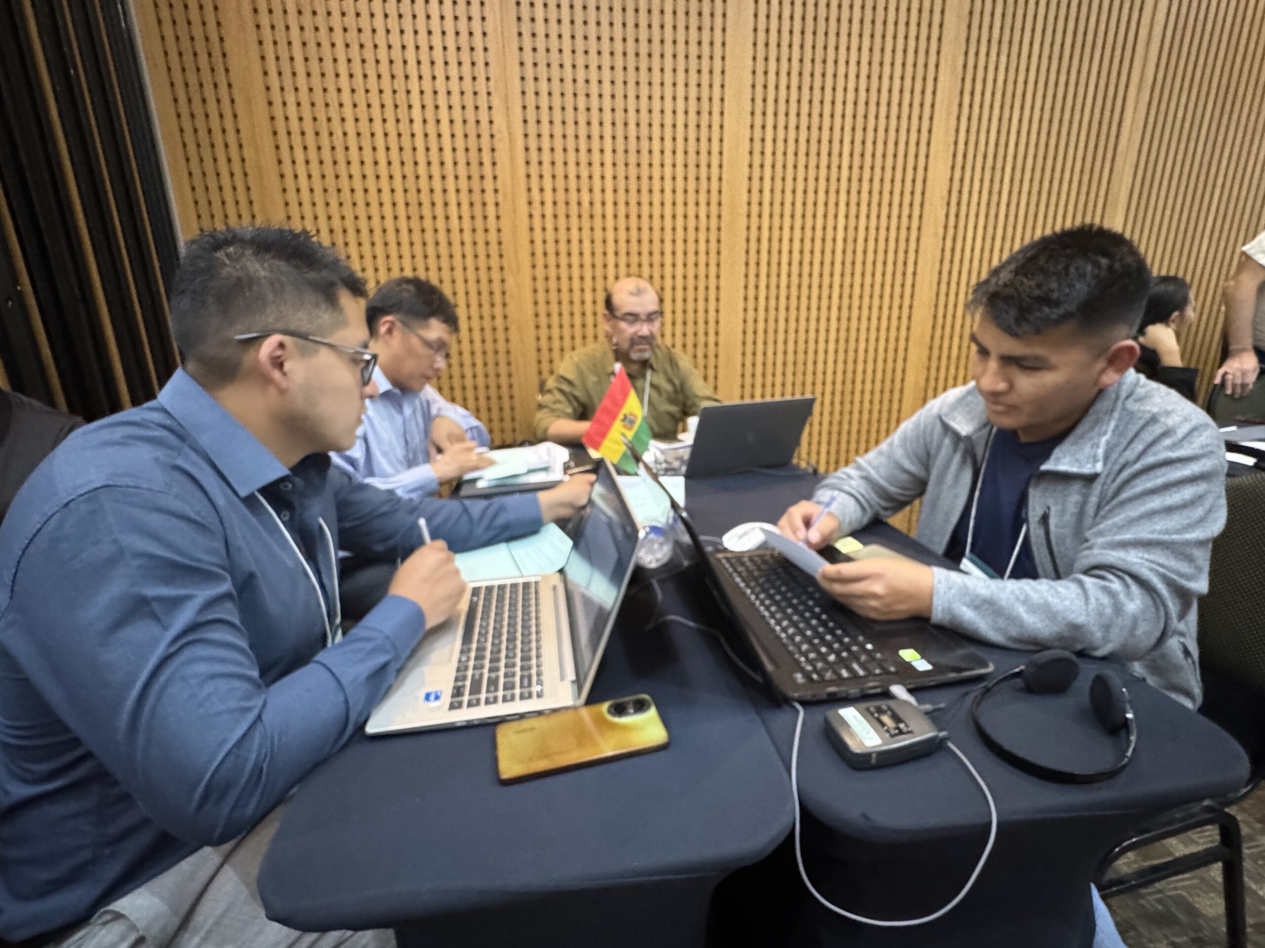
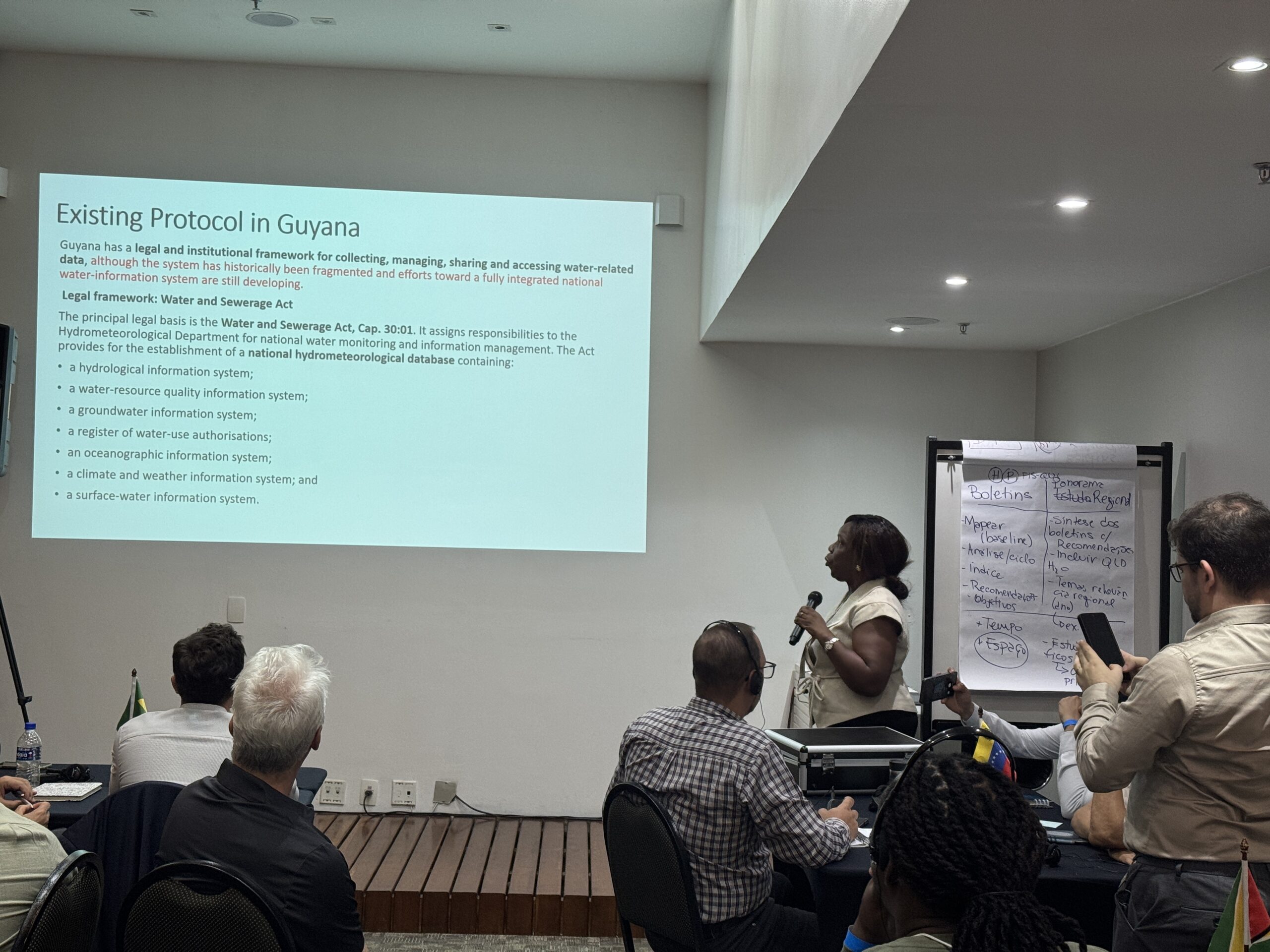
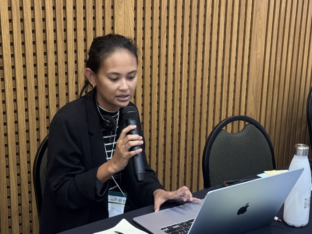
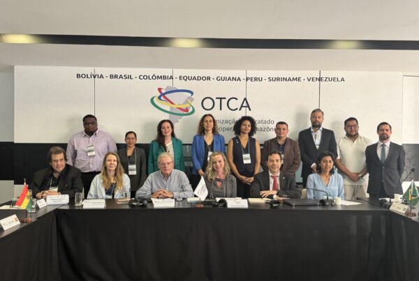
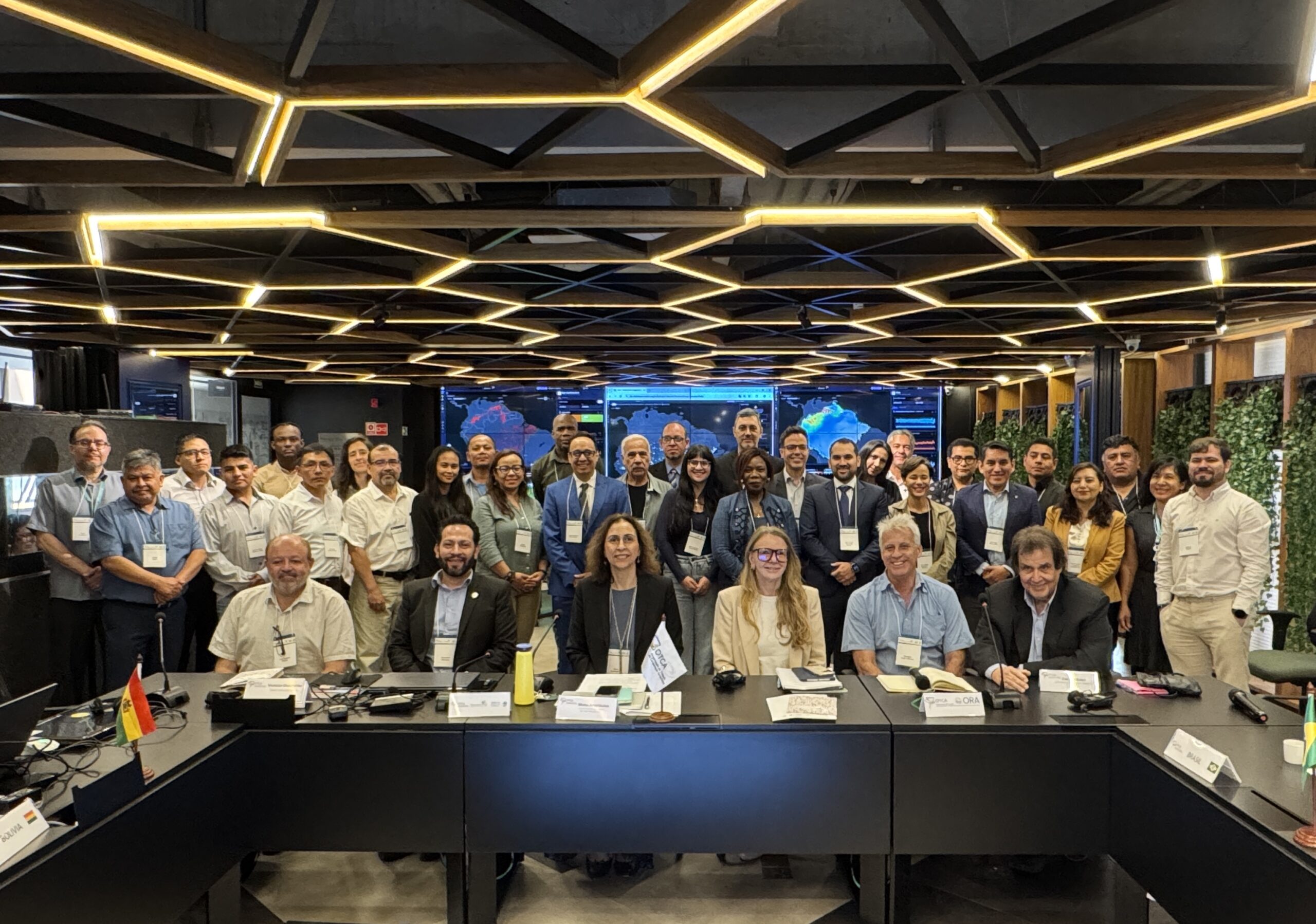
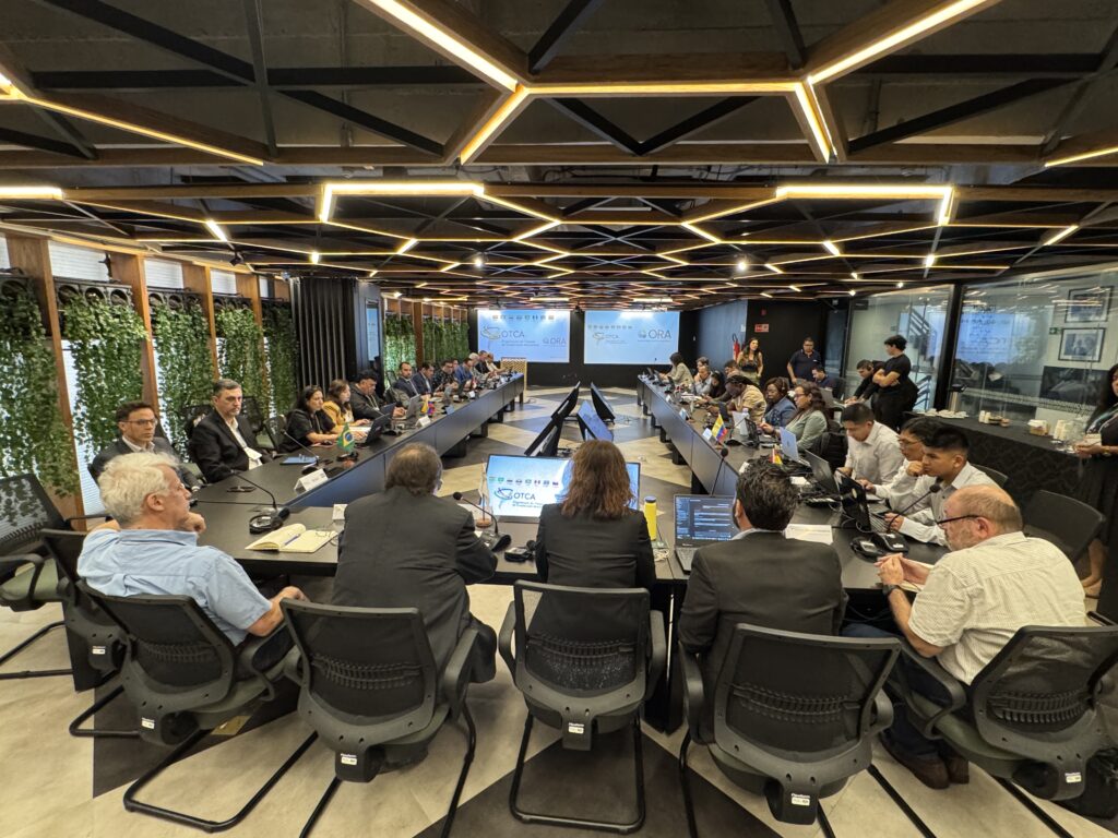
The advances were consolidated during the Joint Interoperability Meeting of the Regional Water Quality and Quantity Monitoring Group, held from 24 to 26 August in Brasília. The meeting brought together technical and diplomatic representatives from the eight Member Countries and was promoted under the Amazon Basin Project – Implementation of the Strategic Action Program (SAP), executed by ACTO and implemented by the United Nations Environment Programme (UNEP), with funding from the Global Environment Facility (GEF).
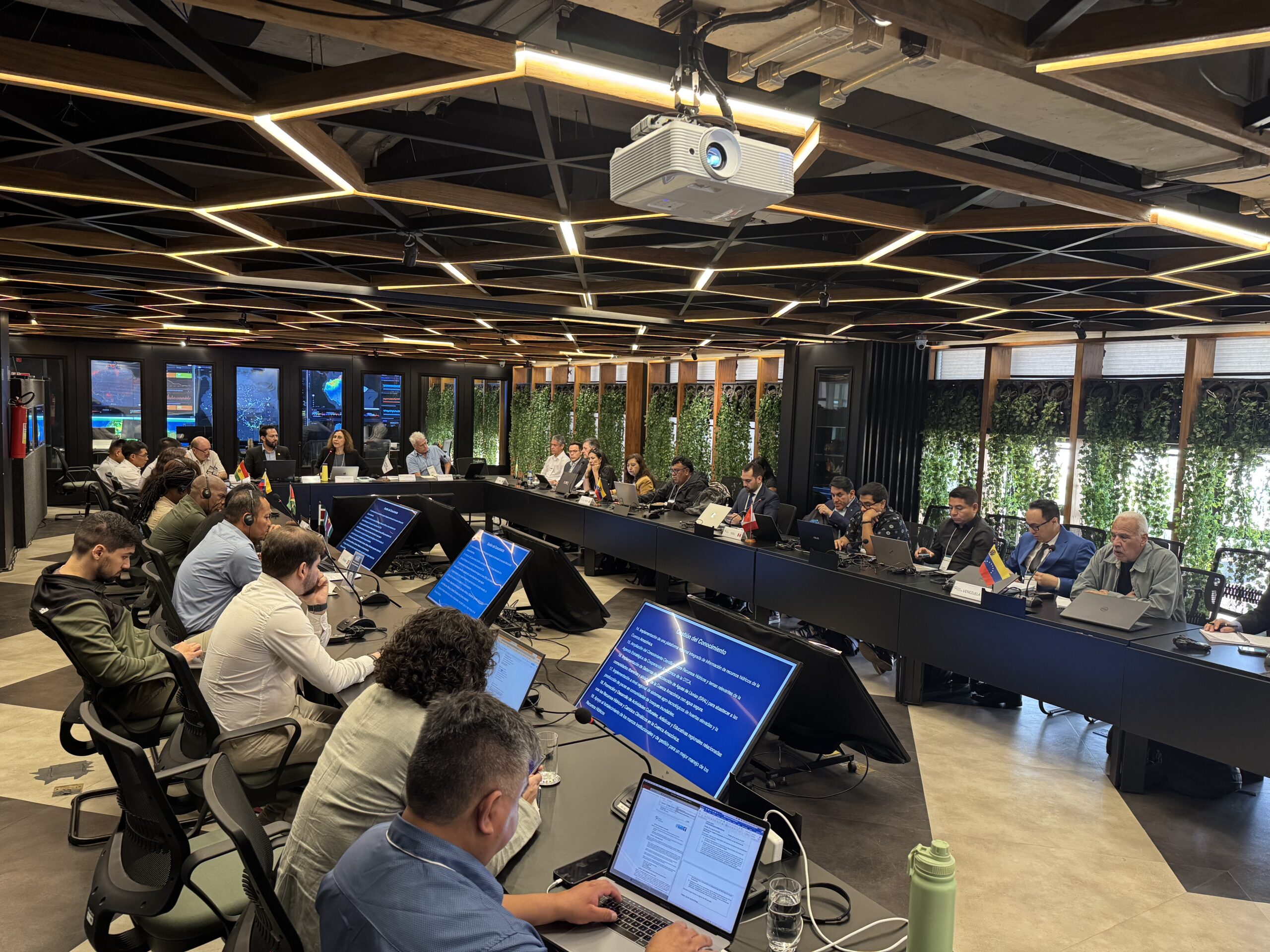
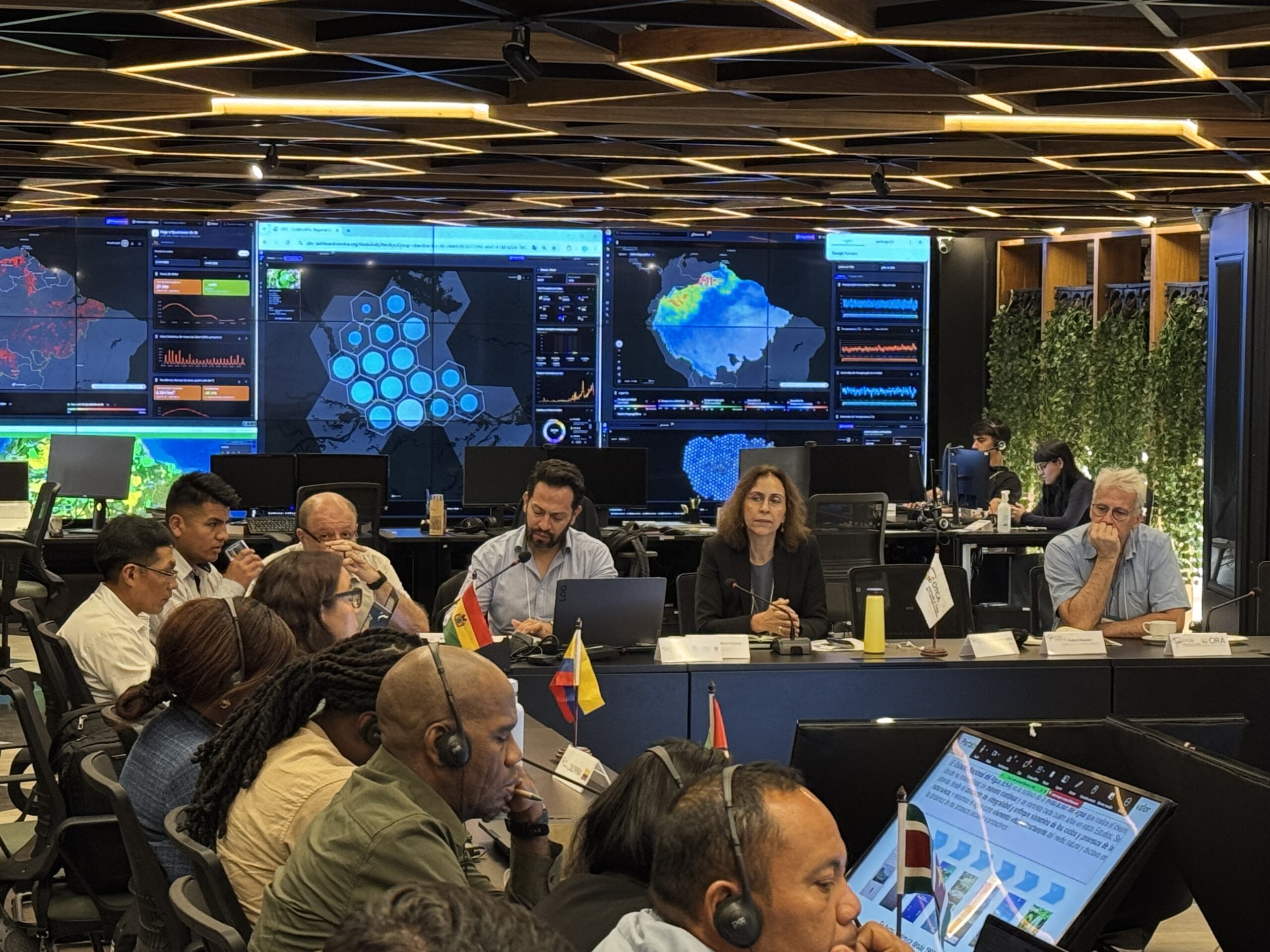
During the meeting itself, Peru’s National Water Authority (ANA-Peru) began making its water quality databases interoperable with the ARO, expanding an information exchange process that was already under way. The result reinforced the practical and progressive nature of a process aimed at integrating both water quantity and water quality data.
At the closing session, Amazon Basin Project Coordinator Maria Apostolova described the progress achieved in the interoperability of the countries’ hydrometric data as unprecedented in the history of ACTO and the ARO. She also highlighted advances in defining regional products to be jointly developed by national institutions, based on a vision of the Amazon Basin as an integrated system.
A gradual process of regional development
Interoperability is the result of a gradual process led by the Member Countries through the Amazon Basin Project – Implementation of the SAP. The work combined political and technical dialogue, institutional assessments, bilateral meetings, technical working sessions, joint instruments and pilot experiences adapted to the conditions and capacities of each country.
Along this path, the Amazon Regional Observatory helped translate the guidelines developed by the countries into concrete technological mechanisms for integration. The approach connected the political and technical levels, bilateral work with regional development, and a common vision of the Basin with solutions suited to different national realities.
For ACTO Environment Coordinator Carlos Salinas, the model that has been developed shows that technological progress depends, above all, on cooperation among institutions and countries.
“This approach connects the political and technical levels, bilateral work with regional development, and a common vision with solutions adapted to each country. Its gradual progress has helped build trust and demonstrate concrete results. It is an experience that deserves to be systematized and replicated in response to other regional challenges faced by ACTO,” he said.

The strategy responds to the complexity of connecting institutions that work with different technological structures, standards, methodologies, capacities and approaches to information management. Rather than replacing existing platforms, interoperability allows national systems to remain under the responsibility of each country while making compatible and comparable information available for the production of regional knowledge.
“Sharing information does not mean losing sovereignty. It means agreeing on institutional, technical and legal conditions to generate common value, while respecting national regulations and responsibilities. Regional cooperation is built on the sovereignty of the countries,” Salinas emphasized.
The countries’ perspective on integration
For the Amazon countries, interoperability makes it possible to understand hydrological processes that extend beyond national borders and increases their capacity to prevent and respond to droughts, floods and other extreme events.
Pablo Mariluz, a specialist with the National Water Resources Information System (SNIRH) of Peru’s National Water Authority (ANA-Peru), recalled that “what is not measured cannot be managed.” As he explained, information systems make it possible to prepare water balances by basin, identify areas vulnerable to flooding and guide preventive actions to protect communities, productive activities and infrastructure such as schools and hospitals.
Regional integration is especially relevant for Peru, which has nearly 30 transboundary basins across its territory. In the Amazon region, exchanging information with neighboring countries makes it possible to better understand the dynamics of shared basins and strengthen prevention and response during periods of heavy rainfall, flooding and other extreme events.
In Bolivia, Sayco Vilela López, hydrological modeler and analyst at the National Service of Meteorology and Hydrology (SENAMHI), highlighted the importance of establishing protocols for data exchange. Because the country is located in the headwater areas of major Amazon rivers, its information can contribute to countries downstream. At the same time, regional data can help improve the calibration of Bolivian monitoring stations and broaden knowledge of how the Basin functions.
For Jeaneth Cartagena, Water Quality and Sediment Specialist at Ecuador’s National Institute of Meteorology and Hydrology (INAMHI), integration helps consolidate information and strengthen coordination among countries. The experience may also allow initiatives already developed at the bilateral level to be expanded to other areas and contribute to strengthening Integrated Water Resources Management within Ecuador itself.
Marcelo Pires, Water Resources and Basic Sanitation Specialist at Brazil’s National Water and Basic Sanitation Agency (ANA), emphasized that the ARO creates the conditions to bring together information generated by national institutions and build a shared understanding of the Amazon’s water resources. In this way, data are no longer viewed solely within the boundaries of each country and instead contribute to a regional vision of the Basin.
For Jesús Raimond Morón Morón, Vice Minister for River Basin Administration at Venezuela’s Ministry of People’s Power for Water Services, joint monitoring can contribute to the development of prevention and response measures.
“We will be able to advance water quality and hydrometeorological monitoring throughout the Amazon Basin, develop flood mitigation plans and establish early warning systems. Having open data that can be consulted by the countries is of great importance for decision-making,” he said.
Turning data into regional knowledge
Integrating the systems is not an end in itself. Its purpose is to transform national data into indicators, analyses, models, scenarios and products that make it possible to understand the Amazon’s water resources beyond political and institutional boundaries.
Salinas summarized this architecture by explaining that “the ARO connects systems; the Regional Group connects national technical institutions; and the Integrated Platform connects information and knowledge with decisions.”
The two regional monitoring networks cover approximately 920 stations distributed across the Amazon Basin. The Amazon Hydrological Network brings together data from 677 stations, while the Water Quality Network contains information from 501 stations. Some stations are part of both networks and monitor both water quantity and water quality.
Based on the experiences and products presented by the countries, the Meeting identified the preparation of the Regional Overview of Water Resources in the Amazon as one of its priorities. Produced every four years, the Overview is expected to provide a benchmark regional analysis structured around prioritized strategic basins.
The product will be complemented by annual regional reports designed to track changes in variables, indicators and conditions relevant to water resources management. The ARO is also expected to advance the generation of automated monthly reports for decision-makers, drawing on information made available through interoperability.
The structure, content, methodologies and indicators of these products will be progressively defined by the Regional Monitoring Group. The national institutions responsible for providing the data must be identified and acknowledged in the reports.
Together, these products will make it possible to move from national information and isolated monitoring points toward an integrated understanding of the Amazon Basin, supporting decisions related, among other issues, to water balances, water quality, droughts, floods and other extreme events.
A permanent regional technical body
Another central outcome of the Meeting was the adoption of the final version of the Terms of Reference of the Regional Water Quality and Quantity Monitoring Group. With this, interoperability will no longer depend solely on one-off initiatives and will instead be supported by a permanent regional technical body responsible for sustaining and expanding the process.
The Group brings together representatives officially designated by the Member Countries in the areas of hydrometry, water quality, and network and database management, with the participation of the Ministries of Foreign Affairs. Conceived as a subsidiary body with a high technical and scientific level, it is expected to maintain systematic and continuous coordination, with at least two ordinary meetings per year.
Its responsibilities include supporting the consolidation of the Amazon Hydrological Network and the Water Quality Network; facilitating continuous data exchange; contributing to the implementation of regional monitoring protocols; identifying gaps and capacity-building needs; promoting pilot projects; supporting laboratory intercomparison; participating in the development of regional products; and maintaining permanent technical dialogue with the Amazon Network of Water Authorities (ANWA).
The Meeting also advanced the elements that should guide a regional document on the governance of data exchange in a transboundary context and the Platform’s Terms of Use. The discussions addressed institutional responsibilities, levels of access and confidentiality, quality and validation criteria, update frequency, security, traceability, acknowledgment of sources and the sustainability of exchange mechanisms.
A platform built with the countries
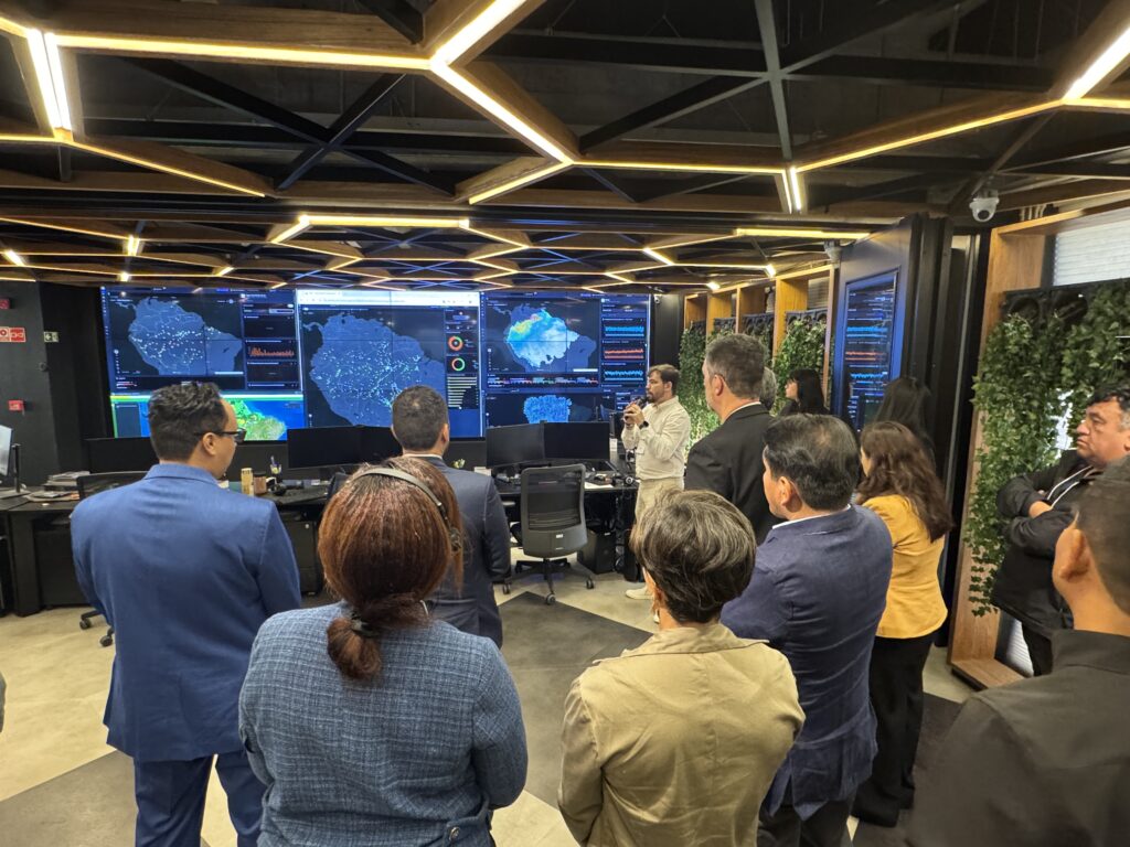
During the meeting, participants used the Digital Module of the Integrated Platform for Integrated Water Resources Management (IP/IWRM), hosted by the Amazon Regional Observatory (ARO), and assessed its structure, access options, navigation, information visualization, and suitability for the needs of different user profiles.
The Digital Module is one of the components of the Integrated Platform, conceived as a knowledge space that seeks to transform available information into useful knowledge for integrated water resources management in the Amazon Basin, regional cooperation, and decision-making. To this end, it brings together institutions, monitoring networks, technical procedures, interoperability mechanisms, and knowledge products.
The Module assessment exercise resulted in recommendations that will be systematized and prioritized to guide the next stages of development. These include the joint definition of alert levels and the development of a transboundary notification system.
Gonzalo Llosa, coordinator of the Amazon Regional Observatory (ARO), explained that the contributions gathered during the hands-on session will be taken into account in the next stages of the tool’s development. “We will take into consideration everything that was discussed and implement it gradually, to the extent possible,” he said.
According to Llosa, the process represents a historic step, not only because of the volume of information that countries are making available, but also because of the willingness of those with greater capacities to share their experience and contribute to strengthening other Member Countries.
“I believe the word ‘hydrosolidarity’ describes the effort of these three days very well,” Llosa said, highlighting the spirit of collaboration among institutions, the willingness to exchange information, and the recognition that building a regional vision also requires strengthening the capacities of the countries that need it.