
In 2025, the Brazilian Amazon recorded its lowest burned area since the MapBiomas Fire historical series began in 1985. A total of 3.1 million hectares were affected, an 80% reduction compared with 2024, when the biome reached a record 15.8 million hectares burned.
The data are part of the second edition of the Annual Fire Report for Brazil, launched by MapBiomas on Tuesday, July 21, at the headquarters of the Amazon Cooperation Treaty Organization (ACTO) in Brasília. The report provides information on fire occurrence and dynamics across Brazil between 1985 and 2025.
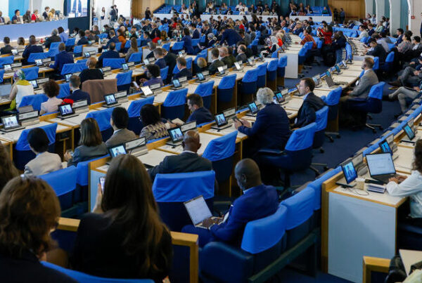
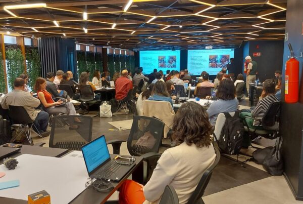
The event brought together representatives of ACTO, MapBiomas, government institutions, fire departments, and organizations working in fire monitoring, prevention, and integrated fire management.
According to ACTO Executive Director Vanessa Grazziotin, addressing fire in the Amazon region requires coordination among the Organization’s eight Member Countries and must be linked to improving living conditions for Amazonian populations.
“Our effort is to transform the Amazon into a region that ensures not only survival, but also a dignified life for all its people through the sustainable management of its natural wealth, forests, and other resources. This includes addressing the threat of fire,” Grazziotin said.
During the launch, Grazziotin also highlighted the creation of the Amazon Network for Integrated Fire Management (RAMIF) and progress toward an operational agreement to support coordinated responses by the countries to extreme events.
Amazon contributed to the nationwide reduction
Across Brazil, 12.7 million hectares were affected by fire in 2025. This area was 58% smaller than in 2024 and 31% below the historical annual average of 18.4 million hectares.
The decline in the Amazon made a decisive contribution to the national result. The biome accounted for 24.7% of the area burned in Brazil in 2025. The Cerrado remained the most affected biome, with 8.7 million hectares burned, equivalent to 68.6% of the national total. Together, the Amazon and the Cerrado accounted for more than 93% of the area burned during the year.
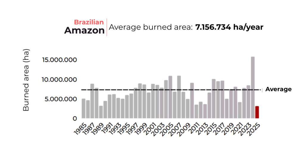
Although 2025 saw a substantial reduction, the long-term analysis reveals the scale of the challenge facing the Amazon. Between 1985 and 2025, approximately 88.6 million hectares of the biome burned at least once. This area corresponds to 21% of the Brazilian Amazon and 42.5% of the total cumulative burned area in the country.
Fire recurrence is also a cause for concern. Approximately 68% of the areas affected in the Amazon burned two or more times during the 41 years analyzed. Among areas affected repeatedly, 31.6% burned again within two years, reducing the time available for vegetation recovery.
The assessment also shows that 52% of the area burned annually in the biome was in human-modified areas, particularly pastures. The remaining 48% affected native vegetation, including forests, grasslands, and wetlands.
According to Gonzalo Llosa, Technical Coordinator of the Amazon Regional Observatory (ARO), historical series of this scope are important for supporting preventive measures and coordinated responses.
“Although the data presented refer to Brazil, fire dynamics cross borders. For the ARO, integrating national and regional time series is essential to anticipate risks, strengthen warning systems, and support coordinated responses among the Amazonian countries,” Llosa said.
“To achieve this, we must also understand the existing capacities of the institutions called upon to intervene and, when necessary, strengthen them so that they can perform more effectively in addressing this threat.”
Public data to inform decision-making
Produced by the MapBiomas Fire initiative, the report uses Landsat satellite imagery with a spatial resolution of 30 meters and machine-learning techniques to identify fire scars.
Collection 5 incorporates two new products. The first estimates the potential severity of fires based on changes observed in vegetation and soil before and after a fire. The second calculates the interval between successive fire occurrences in the same area. Data can also be consulted by biome, state, municipality, land-cover and land-use type, and land-tenure category.
Tasso Azevedo, General Coordinator of MapBiomas, emphasized the importance of producing accessible, up-to-date, and scientifically robust data. “Impact is generated by those who use the data,” Azevedo said. According to Ane Alencar, Coordinator of MapBiomas Fire, information on fire recurrence, severity, and return intervals helps researchers understand changes in fire patterns and supports preventive measures and the implementation of Brazil’s National Policy on Integrated Fire Management.
Across the entire Brazilian territory, 208 million hectares burned at least once between 1985 and 2025. This area is equivalent to approximately 24% of the country, or one in every four hectares. Fire occurred more than once in 64% of the affected areas.
The Annual Fire Report for Brazil, as well as the maps and data from MapBiomas Fire Collection 5, are available free of charge and in Portuguese. A recording of the launch event is also available online.