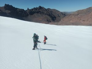
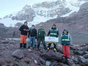
Peru’s National Water Authority (ANA), responsible for the national coordination of the Amazon Basin Project/OTCA, carried out a field expedition in April and May to assess and identify glacier areas in the snow-capped Carabaya and Apolobamba mountain ranges in the Peruvian Altiplano, for the installation of two glaciological meteorological monitoring stations and two hydrometric stations.
The activity was the first in a series planned as part of the glacier monitoring project, which is being implemented as part of the Strategic Actions Program (SAP) for the integrated management of water resources in the Amazon. The project aims to offer alternative water supplies to communities that depend on water from the glaciers that have already been identified and that need to adapt to the melting that is occurring due to global warming.
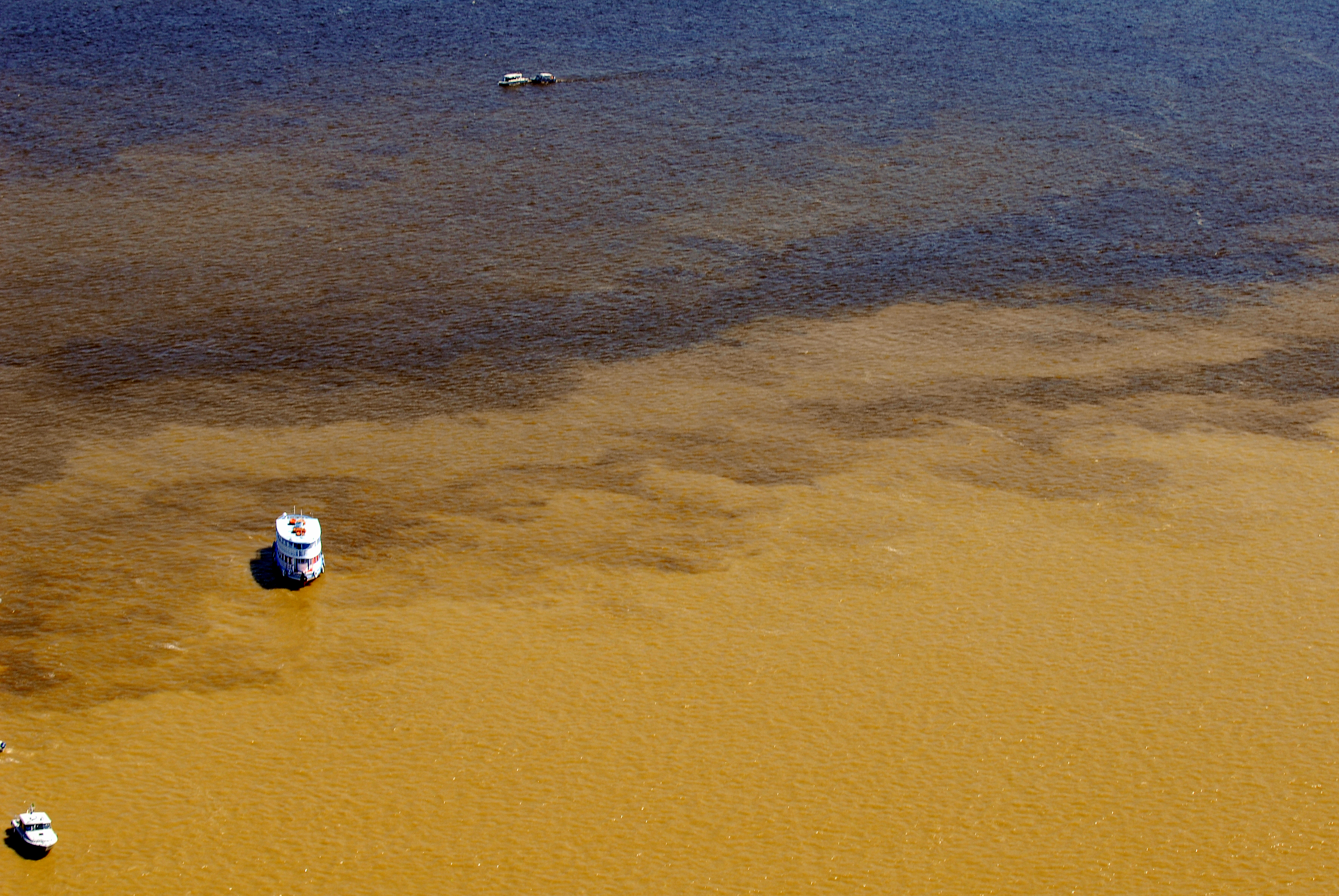
The Limbani, Ayapaya and San Gaban rivers, which descend from the snow-capped Carabaya and Apolobamba mountain ranges in the tropical Andes, swell the Inambari river in the Amazon and supply water directly to a population of 30,727 people and indirectly to more than 220,000 inhabitants of the Carabaya and Sandia provinces in the Puno region.
In the long term, the loss of glaciers leads to a reduction in water resources and changes in hydrological regimes, with socio-economic consequences, generating conflicts over the use of water.
Climate change indicators and water reservoirs
The glaciers of the tropical Andes are known to be highly sensitive to climate change. According to engineer Nelson Santillán, from the ANA’s Directorate for Water Resources Quality and Assessment, their melting is one of the most visible indicators of climate variations. “Due to their rapid response, tropical glaciers are sensitive indicators of climate trends, evolution and fluctuations over several decades and are undoubtedly among the best indicators of global warming in the tropical zone”, .
In Peru, which has 71% of South America’s tropical glacier area, the loss over the last 50 years is 53%. The director of the ANA’s Water Resources Planning and Development Directorate, José Francisco Huaman Piscoya, explains that the problem of deglaciation affects the availability of water resources in the different valleys of Peru where there are glaciers, because these sources are water reservoirs.
In the tropical Andes of the Amazon, Huamán points out, the melting of glaciers, such as those identified in the Apolobamba and Carabaya mountain ranges, directly affects the availability of surface and underground water and the supply of water to communities for multi-sector uses, such as irrigation, livestock and mining.
Efficient use of water and new sources of supply
Through the Apolobamba and Carabaya glacier monitoring project, the Peruvian government and the Amazon Cooperation Treaty Organization (ACTO) intend to develop proposals for the efficient use of water resources and alternative sources of supply in the districts of Quiaca, in the province of Sandía, and Ayapata, in the province of Carabaya, which depend heavily on glacier water.
“Evaluating and monitoring the glaciers will allow us not only to formulate proposals for efficient use and alternatives for water supply, but also to strengthen the capacities of the population centers in the area so that they can plan their structural and non-structural measures,” emphasizes director Huaman.
Once installed, the monitoring stations will generate real-time meteorological information and data on the behavior of glacier cover and surface runoff, which are essential for managing water resources and the risks associated with extreme weather events. Based on this data, it will be possible to implement measures to adapt to climate change on a regional and local scale.
The field assessment
In addition to ANA technicians, representatives from the Madre de Dios Water Management Authority, the Huarmey Chicama Water Management Authority and the Tambopata Inambari Local Water Administration (ALA), among others, took part in the field assessment of the Carabaya and Apolobamba glaciers. The technical mission carried out the political, hydrographic and administrative location of the glaciers with favorable conditions for monitoring and the identification of access routes. Based on the results obtained, strategic points were identified for the installation of meteorological and hydrometric stations.
The national intervention also includes socialization and training workshops. The first socialization was held with the authorities and mining companies of the towns of Taype and Pacaje-Huanutuyo in the Sierra de Carabaya and the towns of Untuca, Empresa Minera CORI PUNO S.A.C. and the Mining Committee of San Miguel de Untuca (Sierra de Apolobamba). This action by the project has raised expectations among the inhabitants of the region, who hope that the monitoring stations will enable them to learn about the water supply from the glacial contribution and be better prepared to face climatic phenomena.
Strategic Action Program (SAP)
The actions of this project entitled “Water supply alternatives for adapting to glacial melt in the mountains of the Carabaya and Apolobamba region, Inambari Amazon River basin” are developed within the framework of the Amazon Basin Project – Implementation of the Strategic Action Program (SAP), which is a regional initiative of the 8 ACTO member countries, implemented by ACTO, with the support of the United Nations Environment Programme (UNEP) and funding from the Global Environment Facility (GEF).