In September 2026, approximately 69% of the Amazon Basin experienced below-average rainfall, while the number of fire hotspots increased by 38% compared with August. The findings are presented in the third edition of the Amazon Environmental Monitoring Bulletin, published by the Amazon Cooperation Treaty Organization (ACTO), with technical support from the Amazon Regional Observatory (ARO).
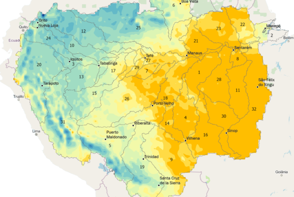
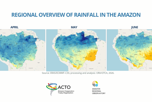
The report shows that 22 of the Amazon’s 32 sub-basins experienced rainfall deficits, four more than in the previous month. Average precipitation across the Amazon Basin was approximately 75 millimeters, around 83 millimeters below the historical average for September. Since July, average rainfall across the region has remained below historical levels.
The driest conditions were concentrated in the northern and central Amazon, particularly in the Branco, Negro, Tefé, Jutaí, and Uatumã–Nhamundá river sub-basins. Although some areas in the southwest recorded above-average rainfall, none of the 32 sub-basins experienced overall wetter-than-normal conditions during the period.
Elevated temperatures and rising fire hotspots
In addition to reduced rainfall, average temperatures across the Amazon Basin remained above historical levels. In September, the regional average reached 26.37°C, representing a positive anomaly of 1.29°C. The highest temperatures were concentrated mainly in the central-eastern and northeastern parts of the region, with averages ranging from 28°C to 30°C in areas of the Brazilian states of Amazonas and Roraima.
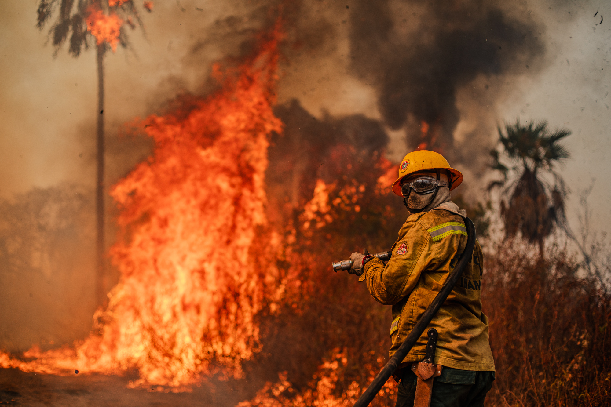
The combination of dry conditions and elevated temperatures coincided with an increase in fire hotspots. In September, 16,748 hotspots were recorded across the Amazon, a 38% increase compared with August and a 28.6% rise compared with September 2025.
Between January and September 2026, the cumulative total reached 48,866 hotspots, 20.3% higher than during the same period in the previous year. Forest formations accounted for 42% of the records, followed by pastures at 27%.
Monitoring also identified 2,661 fire hotspots in Natural Protected Areas and 2,013 in Indigenous Territories during September. Compared with the same month in 2025, hotspot records increased by 5.6% in Natural Protected Areas and decreased by 5.4% in Indigenous Territories.
Wildfires and air quality raise concerns
The increase in fire hotspots was accompanied by episodes of deteriorating air quality in Brazilian Amazonian municipalities. In Manaus, on September 23, fine particulate matter (PM2.5) concentrations reached 188.5 µg/m³, according to municipal authorities, with air quality classified in the worst category.
Other municipalities in Amazonas state, including Manacapuru, Manaquiri, Iranduba, Careiro, and Itacoatiara, also experienced concerning conditions. The spread of smoke demonstrates that the impacts of wildfires extend beyond the areas directly affected by fire, increasing population exposure to air pollution.
Burned-area data, which are available with a delay of approximately three months, show that the Amazon accumulated 7,657 km² of burned area between January and July 2026, a 12.4% increase compared with the same period in 2025. Of this total, 1,125 km² were recorded in Indigenous Territories and 956 km² in Natural Protected Areas.
Regional monitoring and outlook for the coming months
The third edition of the bulletin also draws attention to the potential development of El Niño conditions in the equatorial Pacific. This phenomenon can alter atmospheric circulation patterns, favoring higher temperatures and below-average rainfall in parts of the Amazon, particularly in northern and eastern areas.
If these conditions materialize, they could prolong the dry season, intensify declining river levels, and increase the risk of forest fires and smoke-related air pollution episodes.
Drawing on climate and environmental monitoring data from multiple sources, the bulletin brings together regional information on precipitation, temperature, fire hotspots, and burned areas. The analyses are conducted by ARO, which integrates and makes information available to track environmental changes across the Amazon Basin and support cooperation and decision-making among ACTO’s eight Member Countries.
Read the third edition of the Amazon Environmental Monitoring Bulletin (October 2026), featuring data for September.
Photo: Augusto Dauster (Prevfogo/Ibama)